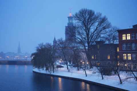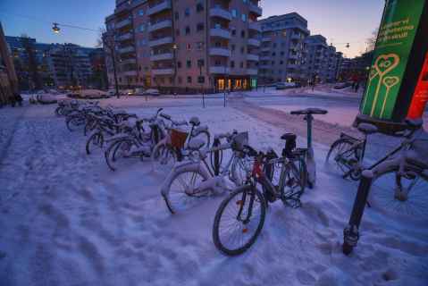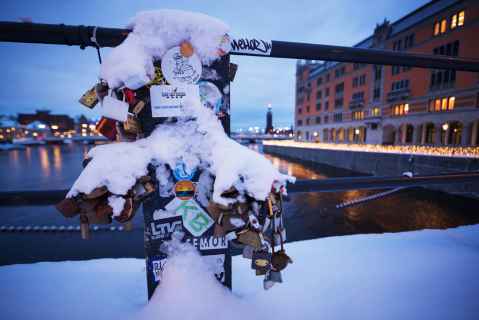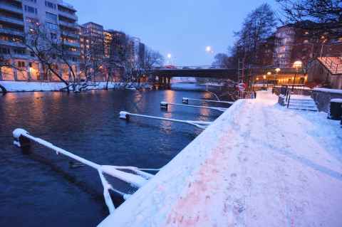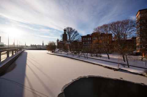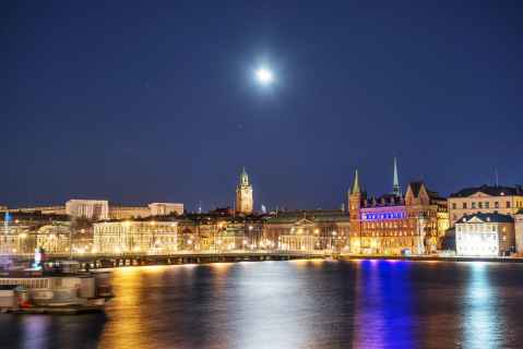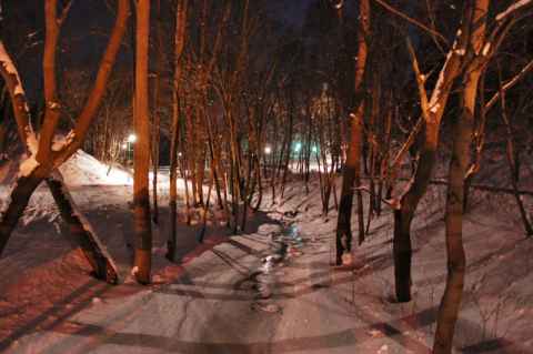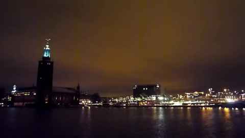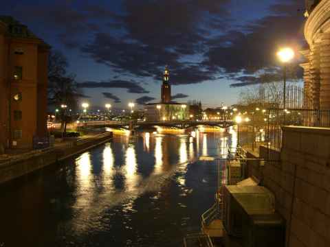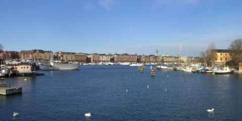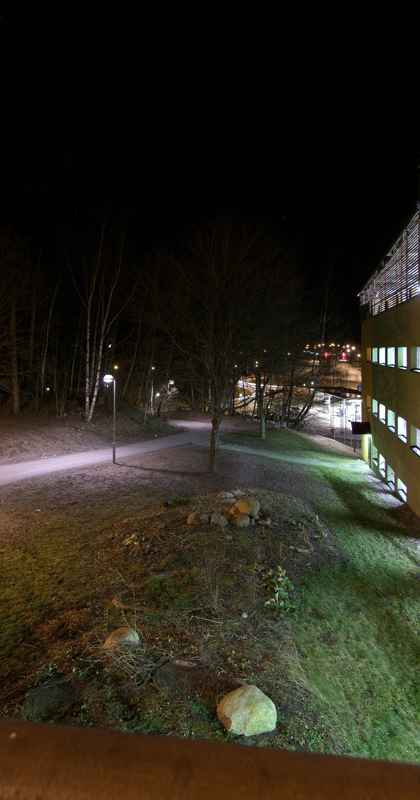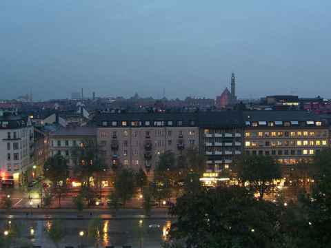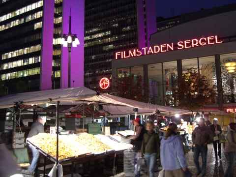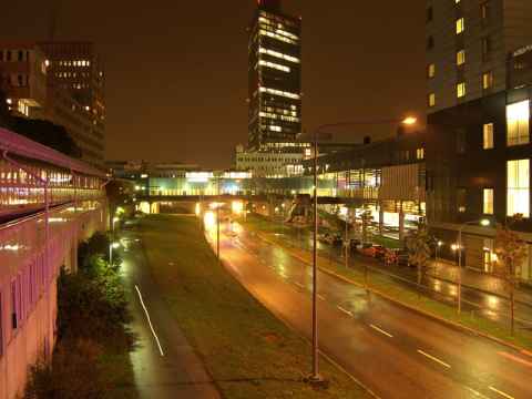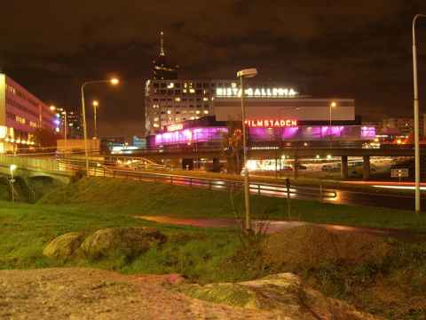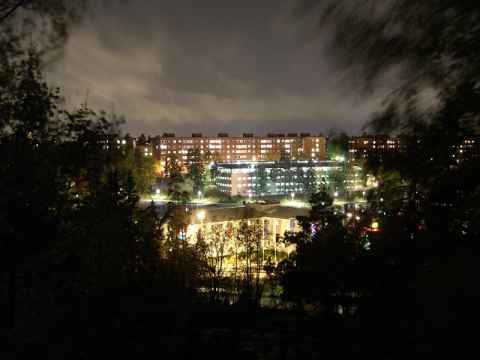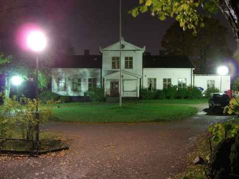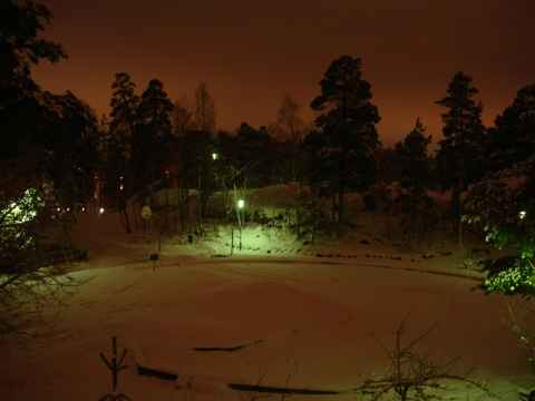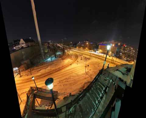
This is where Liljeholmsbron reaches Liljeholmen. At the far end of the bridge one can see the lights of Hornstull on Södermalm. Shot hand-held at ISO 1600, mostly to see if it was even possible to get a working panorama from hand-held photos at this low light. The panorama projection is a general Panini[a] with some fine-tuning of the top and bottom parameters to keep those areas from dominating the image. I tried to create a Escher-esque view of the staircase on the bottom, but the photos didn't quite line up to support it.
2011-02-13 23:28

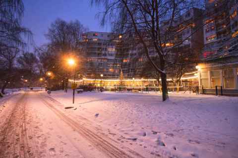
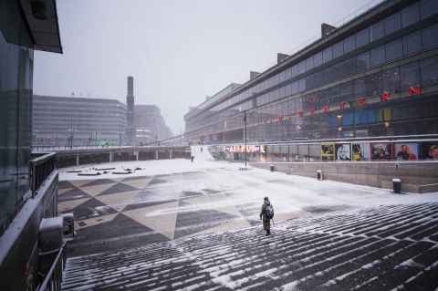
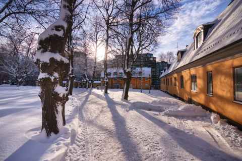
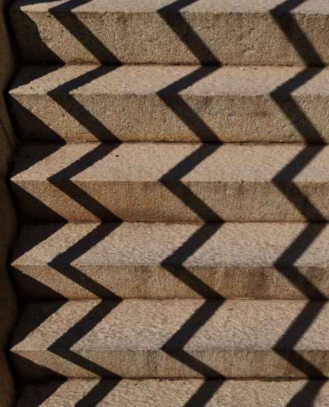
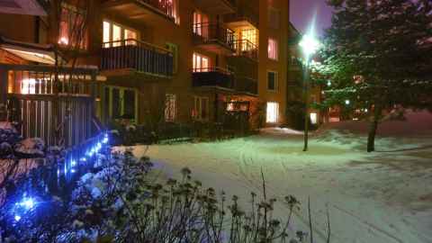
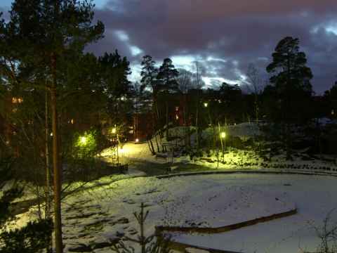
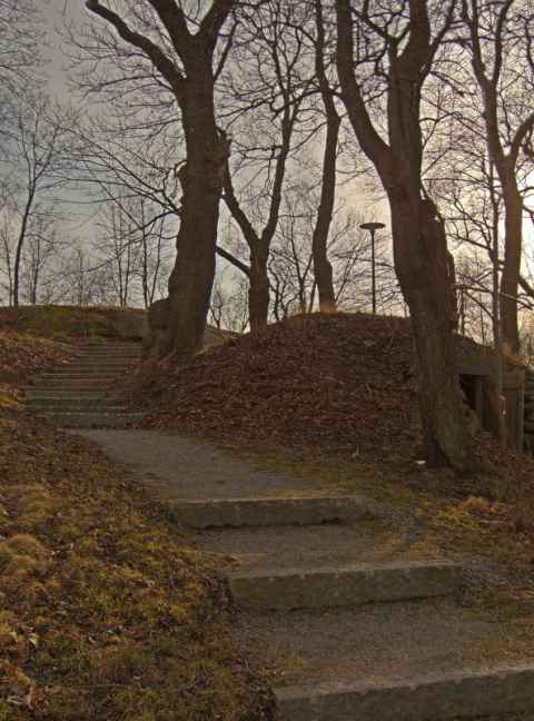
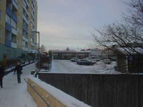
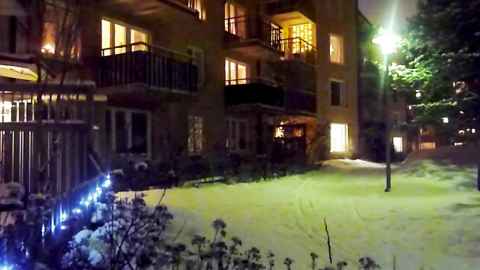
This area, the north-easternmost portion of Liljeholmen, is a fairly recent development. The houses are the usual kind of cookie-cutter apartment buildings: Not much to look at, but pretty nice to live in. The whole area looks a lot like Hammarby Sjöstad; it has the same architectural style, the same kind of mix of commercial and residential spaces, and even the restaurants look kind of the same. These are just some stairs where I liked the lines and the light's contrast with the snow.
2011-02-13 23:39
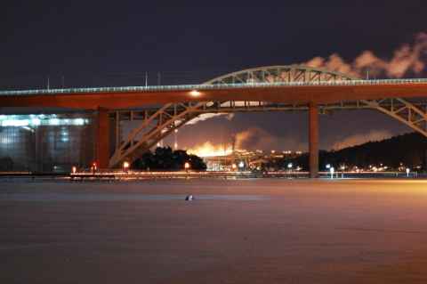
Not wanting to walk back the same way I came, I proceeded east-south-east along the waterline. At the edge of Liljeholmen one gets this view looking under the two Årsta bridges toward Gullmarsplan and Hammarby Sjöstad. The tower seen in the distance is part of Hammarby Sjöstad and the hill behind it is Hammarbybacken.
2011-02-13 23:47
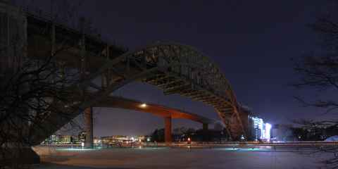
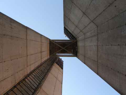
Going past the two Årsta bridges and looking at them from the south-east side one gets a view toward Hornstull under the span. The rightmost bridge is the old Årsta bridge, and the scaffolding used for restoration and preservation efforts can be seen lit up at the far end of the bridge. It is currently used for commuter trains, while the long-distance trains are routed over the new bridge, whose slim shape stands in sharp contrast to the heavy framework of the old. The view from southbound commuter trains during sunrise is quite a sight. The train is high enough so that you see over the sides of the bridge, and since the train itself is on the east (trains go on the left-hand tracks) track, you see a beautiful sunrise over the water.
2011-02-13 23:56
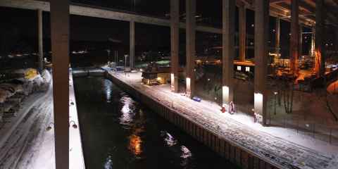
There are two ways to walk from Gullmarsplan north to Skanstull and Södermalm - one is to walk across one of the bridges seen here, and the other one is to the the low road, which I am doing here. The canal seen here is the Hammarby Lock, which allows boats to pass from Lake Mälaren to Lake Saltsjön ("The Salt Lake") and vice versa.
2011-02-14 00:27
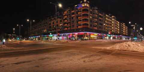
Climbing up on the other side you reach Skanstull - normally a very crowded place, but at this time of night near abandoned. The road coming from the far left and exiting the photo in the near right edge is Ringvägen ("The Ring Road"), which performs a wide U-shape along the south edge of Södermalm. At this point it is going almost exactly in a east-west direction. The other road, going from near left and disappearing into the distance mid-right, is Götgatan, which is one of the main road of Södermalm and the main north-south going one. Walking up it you end up at Slussen, and a couple hundred meters more will bring you to the Old Town.
2011-02-14 00:33
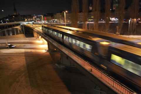
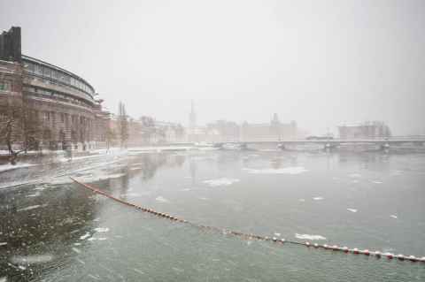
Before you reach the Old Town you come to Slussen ("The Lock"), which is a hotly-debated piece of architecture in Stockholm. It is both universally reviled and universally loved: Reviled, because it is one decrepit piece of old concrete that is more or less about to collapse. Loved, because so far all other plans drawn up by architects have been inferior in that they have more focused on being cheap to build, rather than preserving the character of the area with its great views of the water.
2011-02-14 00:50
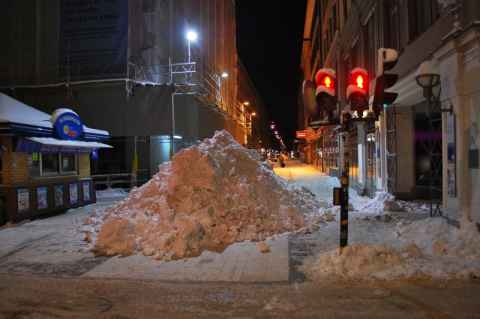
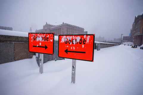
Speaking of water - at this time of year most of it is frozen and not where it should be (that is, on a mountain or in a lake or sea). Piles like this are bulldozed up and then taken by truck to the water to be dumped. The upside is that the whole city doesn't suffer some kind of snow-induced traffic aneurysm. The downside is that the snow goes into the water without passing any water treatment plant, which is the normal procedure, taking with it dirt, oil and other pollutants that one finds on city streets.
2011-02-14 01:04
 ► 3:18
Snow
Making videos is for me more of a learning experience and a chance to play around with image processing than any actual attempt at producing pro-grade movies. (But you've probably already noticed that.) I've also updated the Video Editing With Blender article based on my experience with making this video.
The music track is "Breathe"[f] from the album Listen[g] by Tryad[h]. The track, and this movie, is released under the CC-BY-SA-2.5[i] license.
2010-12-03 21:55
Frösunda
Stockholm, Sweden
Stockholm
Stockholm, Sweden
Tyresta National Park
Stockholm, Sweden
