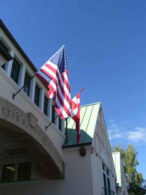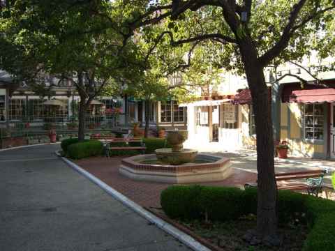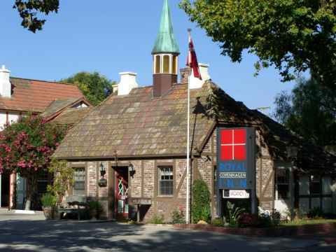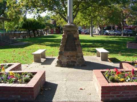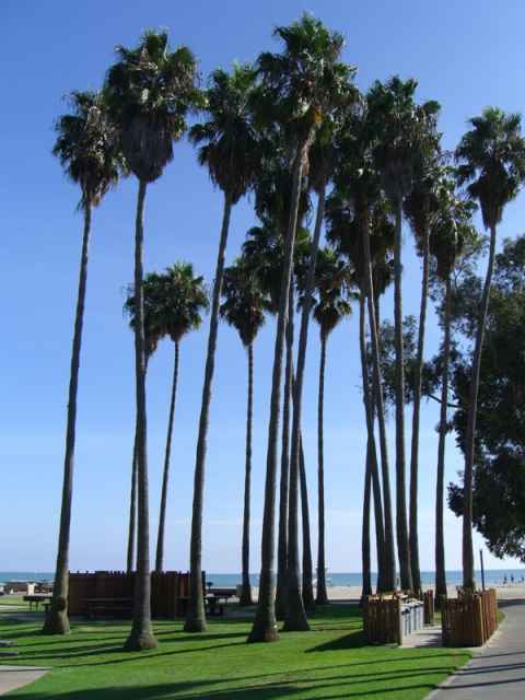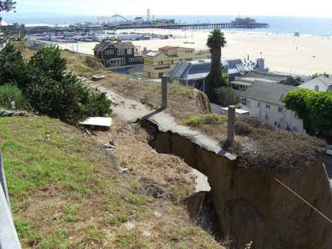
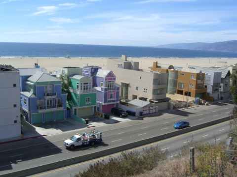
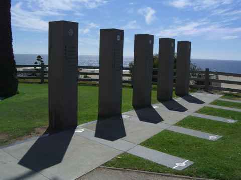
War Memorial. The pillars commemorate war dead from the Army, Marines, Navy, Air Force and Coast Guard.
2006-10-03 14:09
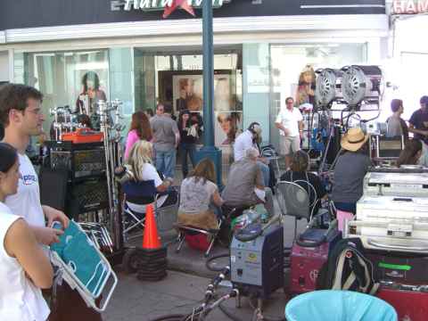
Some kind of movie production taking place on the 3rd Street Promenade.
2006-10-03 14:52
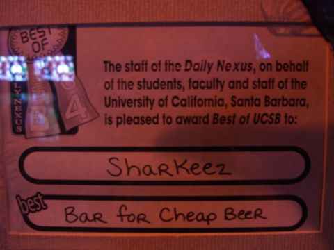
This is where I had dinner. Good to know that I pick top restaurants.
2006-10-02 19:06
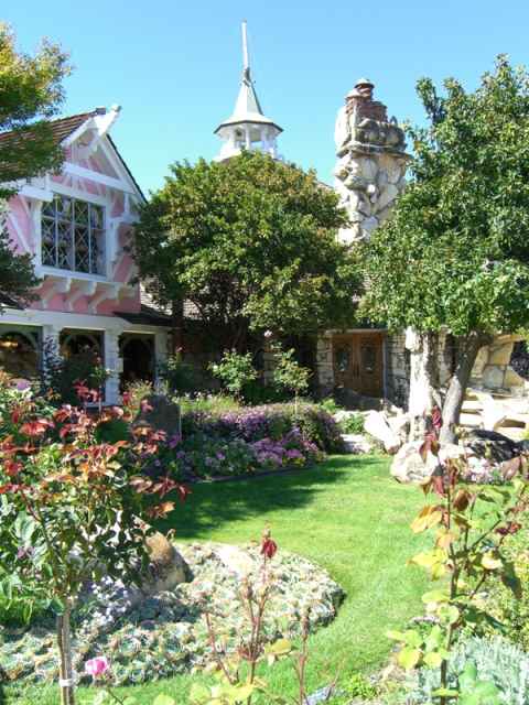
The entrance to the hotel. You can also get to the restaurant from here.
2006-10-02 13:36
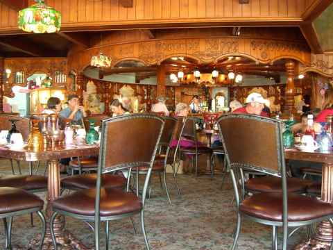
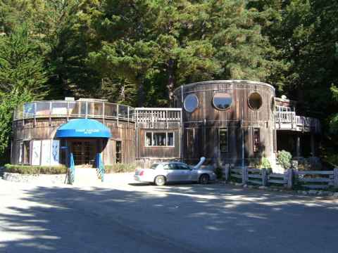
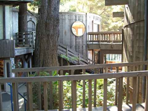
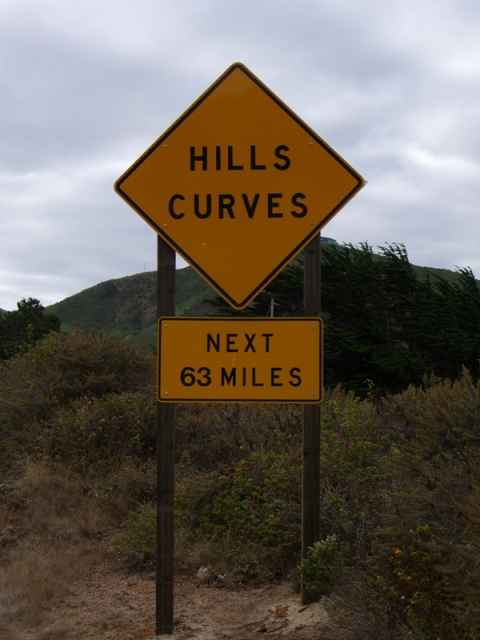
Well, you know what to expect. The coastline has been formed by erosion of the hills when rainwater flowing down into the sea carved out a myriad v-shaped canyons.
Pacific Coast Highway, South (Part II)
2006-10-02 10:02
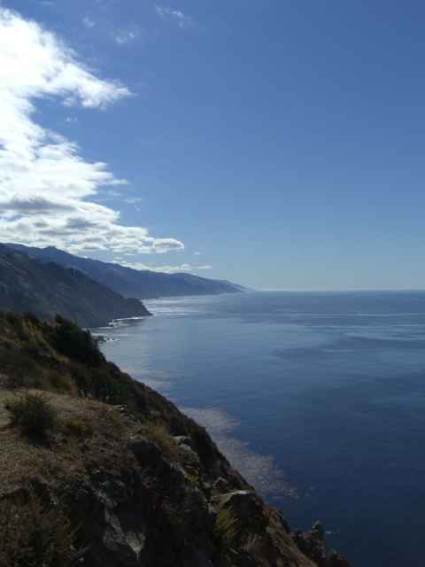
This is the end result of that process - steep hills diving into the water, and sharp ridges where the water didn't erode the rock.
Pacific Coast Highway, South (Part II)
2006-10-02 10:39
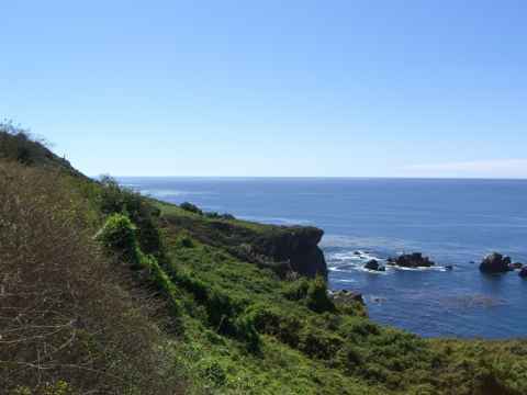
Everything is covered in either trees or dense, arid-hardened brush.
Pacific Coast Highway, South (Part II)
2006-10-02 11:11
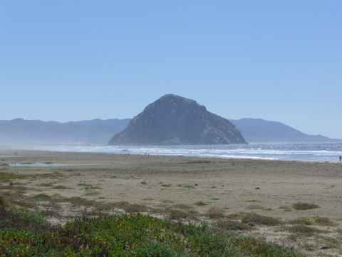
About two hundred miles from Los Angeles is Morro Bay, where this huge granite block marks the entry to the bay.
Pacific Coast Highway, South (Part II)
2006-10-02 13:07
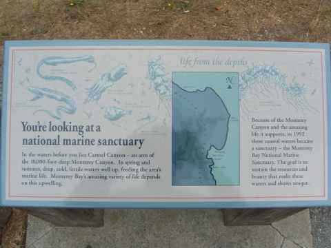
Unfortunately there is a bit of a mismatch between what the guidebook says and what really is there. After reading this sign, if you were to lift your eyes to the horizon, you'd see this[a].
2006-10-01 15:06
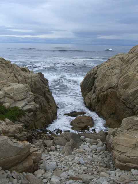
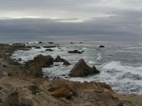
But pretty soon you get to see the sanctuary. The "Restless Sea" as this place is called has rock formations stretching out in the shallow water, making the water foam far from the shore.
2006-10-01 15:27
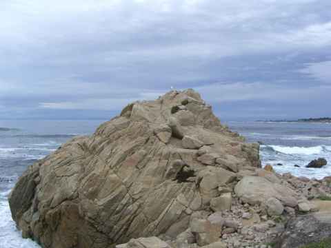
Sea birds are everywhere and this one seems to have staked its claim to a big rock.
2006-10-01 15:28
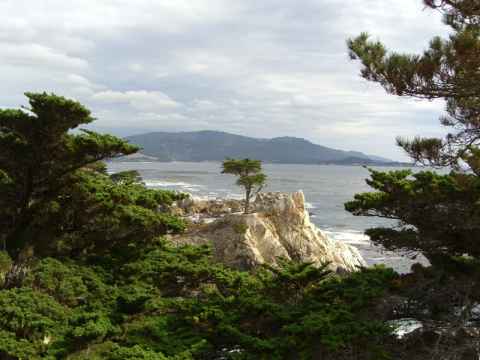
The Lone Cypress, the symbol of Pebble Beach, has been sitting on its rock for at least the past 250 years.
2006-10-01 15:51
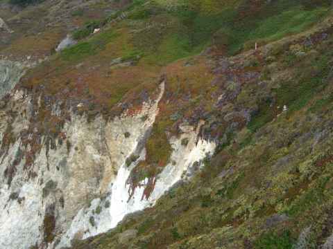
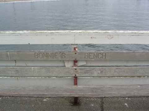
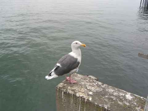
One of the inhabintants of the pier. These birds are completely unafraid of people. Yu can walk up to them and they won't even bother looking at you.
2006-10-01 11:46
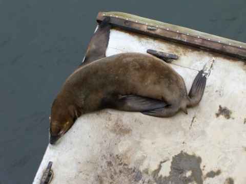
The other major inhabitant of the pier. Sea lions fill the air with their characteristic noises.
2006-10-01 11:47
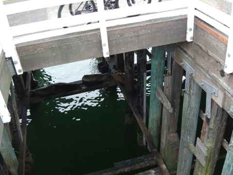
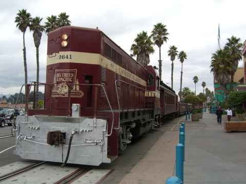
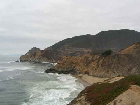
The weather was only so-so when I started out at SF. Understandable, since San Francisco had an almost central-northern European weather when I was there. No running around in shorts in late September here.
This particular stretch of road is known as Devil's Slide[b] due to the frequent land slides.
2006-10-01 10:25
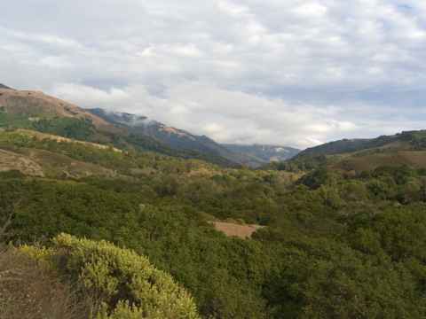
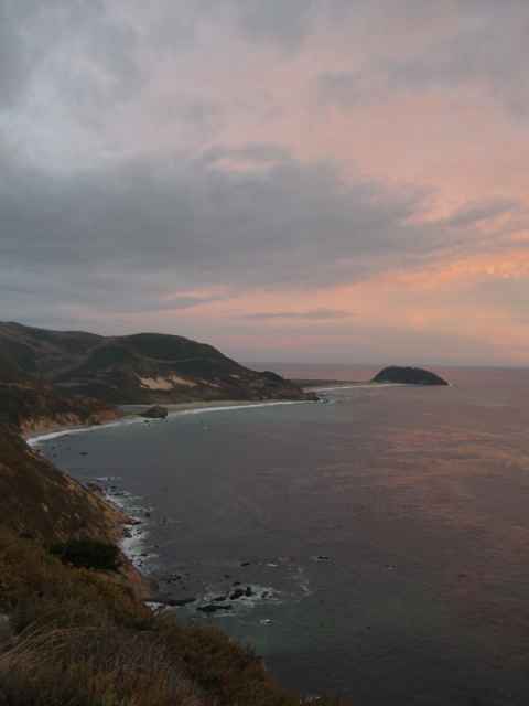
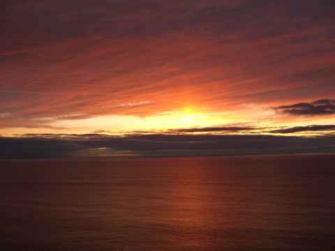
On the way down I went past Santa Cruz and did the 17 mile drive at Pebble Beach, but then I went down toward Point Sur to enjoy the sunset. This is Andrew Molera State Park just south of Point Sur.
2006-10-01 17:19
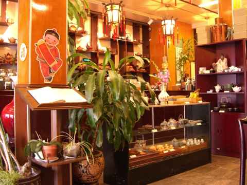
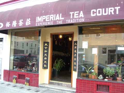
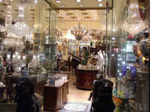
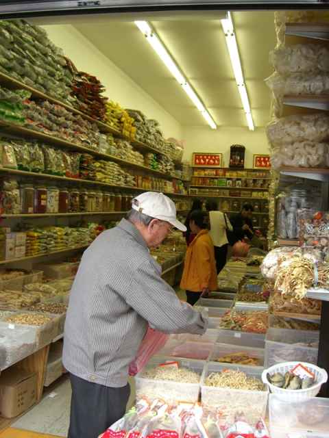
This is the interior. A plethora of tea cups, tea tasting sets and bags of tea fill the shelves.
2006-09-30 17:10
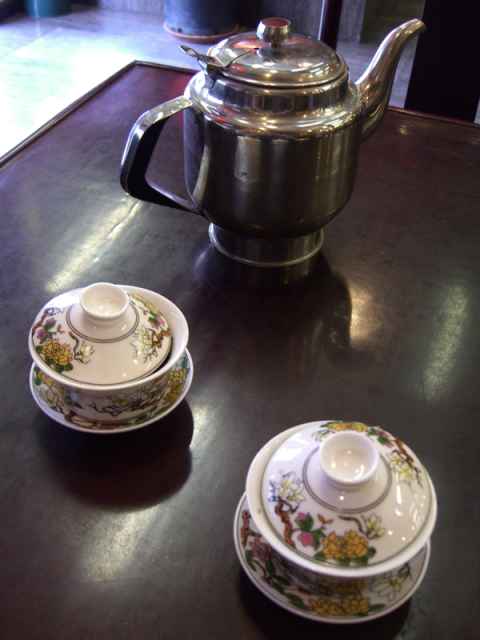
This is what is served: One cup for each sort of tea that you have ordered, and a kettle of hot water. The tea leaves are already in the cups.
2006-09-30 17:16
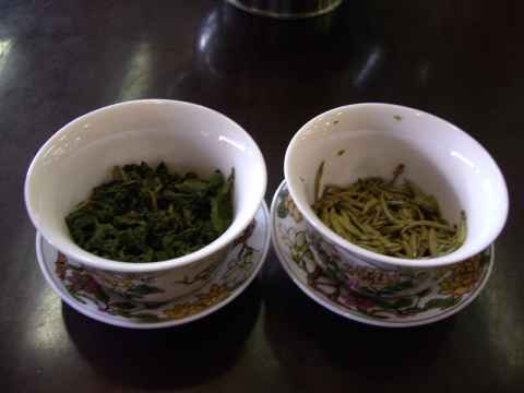
My two teas - the left one is "Monkey Picked Tieguanyin" and the right one is "Silver Needles". You start off by soaking the leaves in a splash of water and smelling them. Then you fill the cup with water and use the lid to push the leaves around, squeeze them against the side of the cup and push them into the water. (The people working there will give you a quick rundown on how to do this.)
2006-09-30 17:35

Judge Lillian Sing (...) made history when she was appointed as the first Chinese American woman judge in 1981. Serving as a judge for 22 years, Judge Sing held almost every type of assignment in both criminal and civil courts, and also pioneered Drug Court, where drug addicted persons receive treatment and counseling, before retiring from the bench last year.
- Asian American Bar Association
(You can read more about her using the Wayback Machine[c].) Apparently she didn't like retirement and campaigned to get back. How did she do? She won.[d]
2006-09-30 17:01
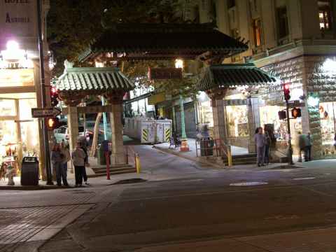
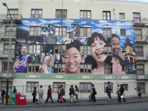
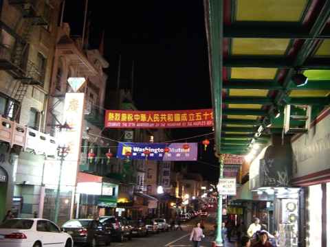
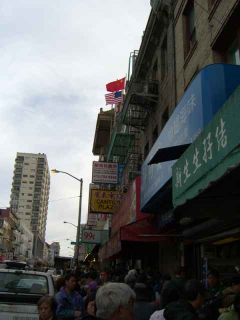
The gate to Chinatown. The area known as Chinatown isn't walled in any way, but there is still a gate.
2006-09-30 20:29
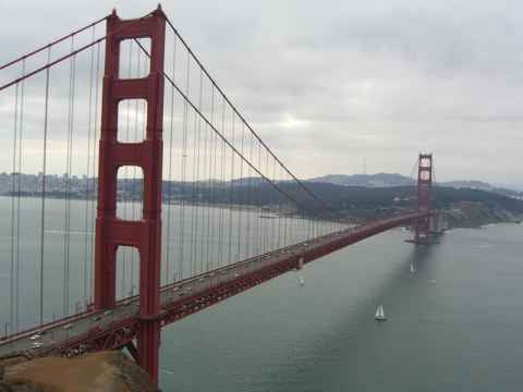
I drove from Modesto to Oakland and over the bay to San Rafael (in which the term "420[e]"[f] originated), driving over the rollercoaster-shaped Richmond-San Rafael Bridge[g]. From there I went south to Point Spencer.
2006-09-30 10:58
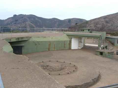
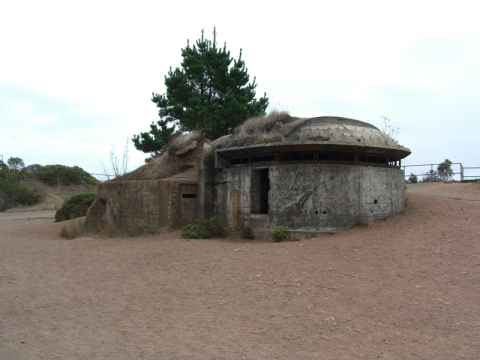
At Point Spencer you can see what's left of Battery Spencer[h], part of Fort Baker. The circular slab is one of three used to mount the battery's 12 inch guns.
2006-09-30 10:59
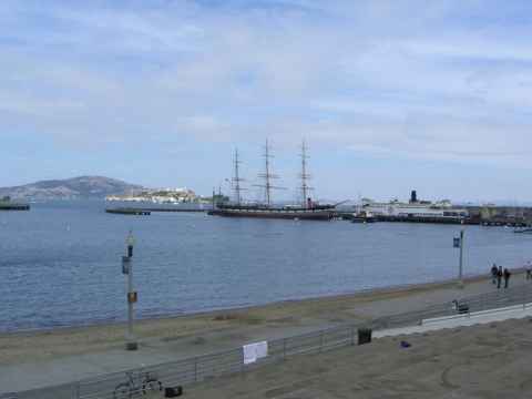
On the other side of the Golden Gate bridge and a little bit to the east is Fisherman's Wharf where you can find old ships...
2006-09-30 12:03
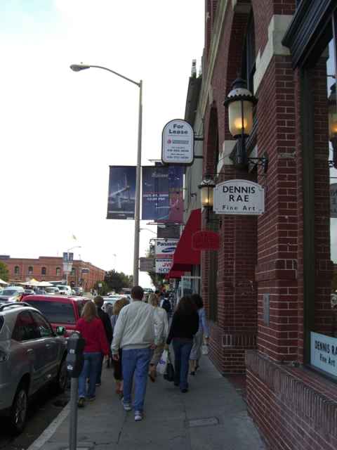
...and a lot of stores. In particular camera stores and camera accessories seemed to be the most common stores.
2006-09-30 12:06
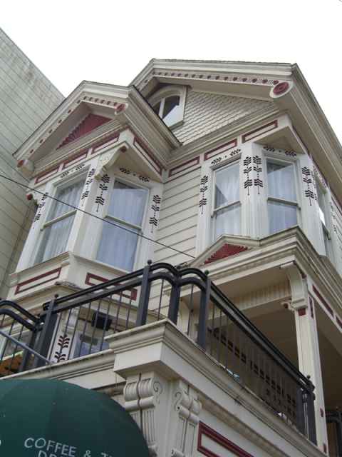
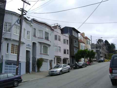
This pictures shows the hilly nature of San Francisco. If you aren't either ascending or descending a steep hill, you have probably left SF altogether.
2006-09-30 12:43
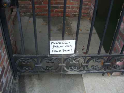
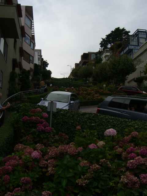
This is the bendiest street in all of the world. It is Lombard Street, on top of the Russian Hill.
2006-09-30 12:54
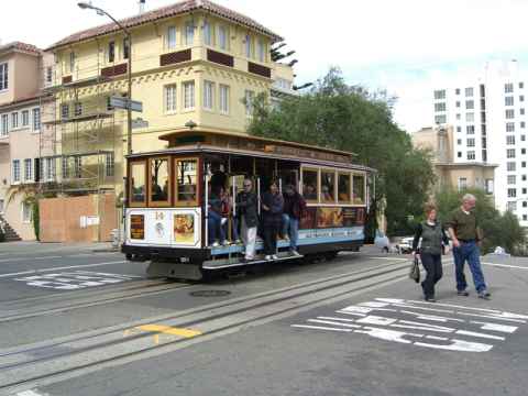
A tram. The trams are driven by cables being pulled through the "middle rail" that you can see. The cables are continuously running and the car is driven by gripping the cable or by applying brakes. You can try driving a tram at Gripman's[i].
2006-09-30 12:57
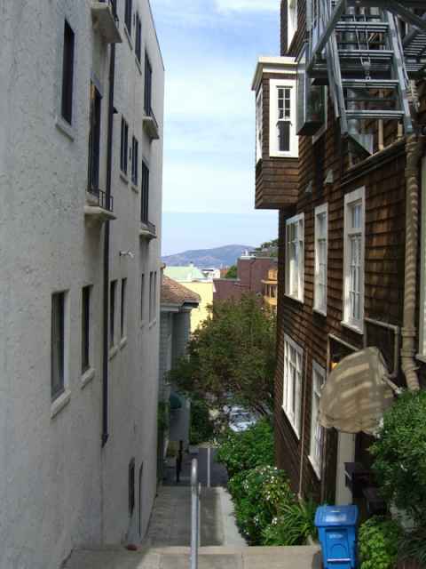
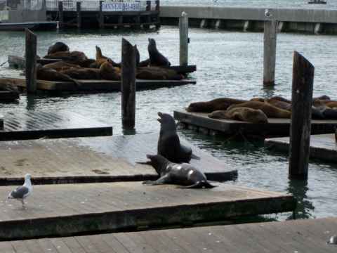
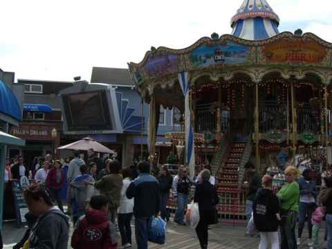
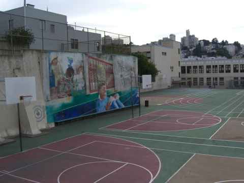
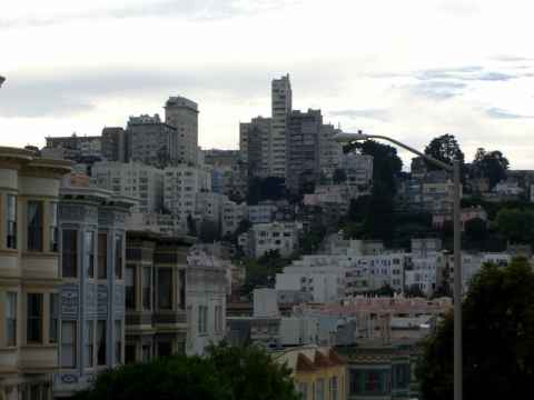
The Russian Hill. This picture gives you an impression of how hilly SF really is.
2006-09-30 16:17
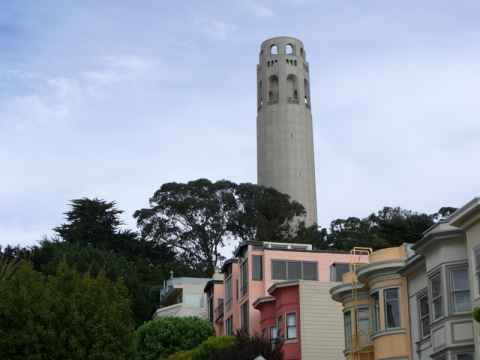
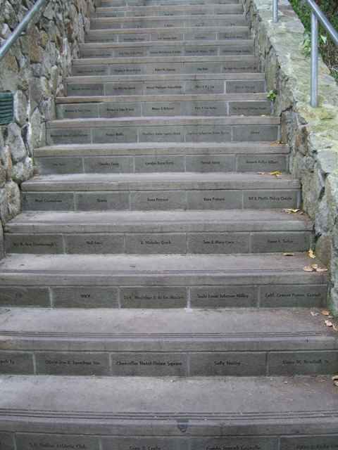
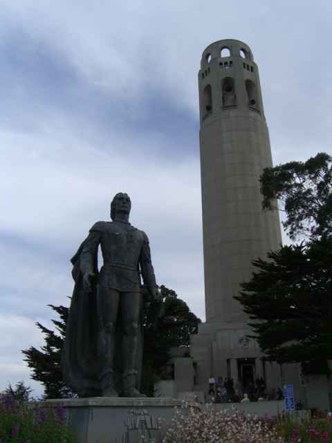
View of the tower with the statue of Christopher Columbus in front.
2006-09-30 16:26
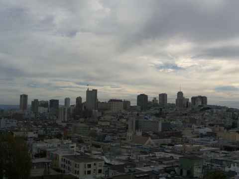
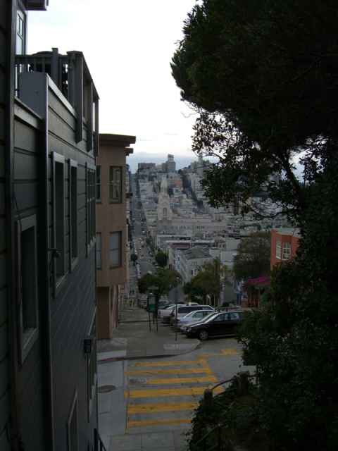
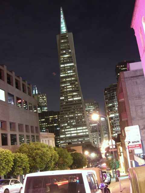
The Transamerica Pyramid[k], one of the easiest recognizable landmarks of San Francisco. While it no longer houses the Transamerica insurance company, the company still has the pyramid in its logo, as you can see on their website[l].
2006-09-30 21:32
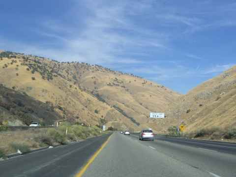
Bound for Yosemite on the 5 freeway. The picture doesn't show it, but I'm going downhill fast.
2006-09-29 09:51
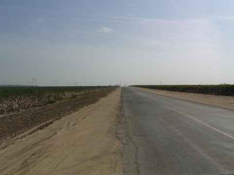
The mountaneous terrain north of LA give way to the flat valley.
2006-09-29 10:07
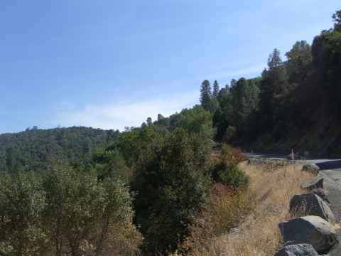
And then you're back up in the hills again as you leave Fresno on highway 41.
2006-09-29 13:45
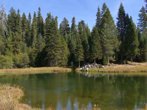
The vegetation shifts from desert brush to trees as you near Yosmeite.
2006-09-29 14:15
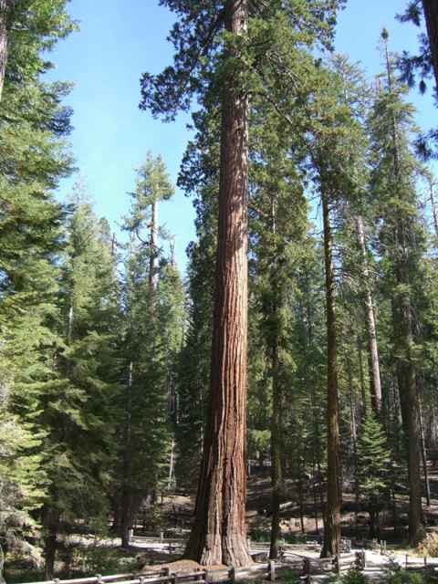
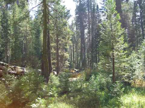
They stand like giants among the other trees in Yosemite.
2006-09-29 14:31
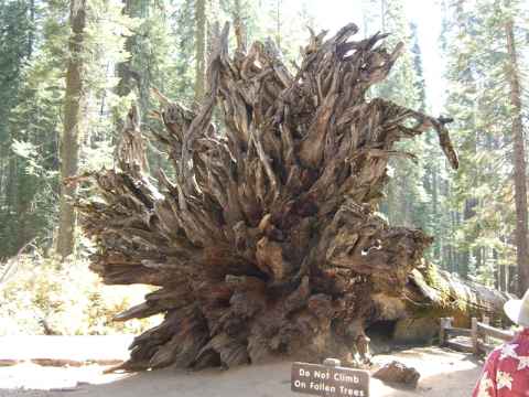
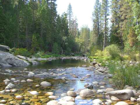
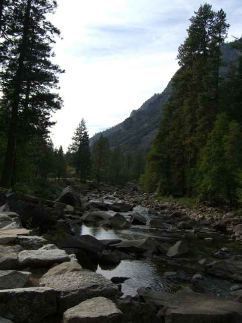
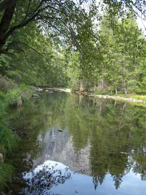
All streams in Yosemite are fed by snowmelt from the mountains. Since I'm visiting in September, when the spring floods are over and there hasn't come any more snow, the streams are near empty.
2006-09-29 14:53
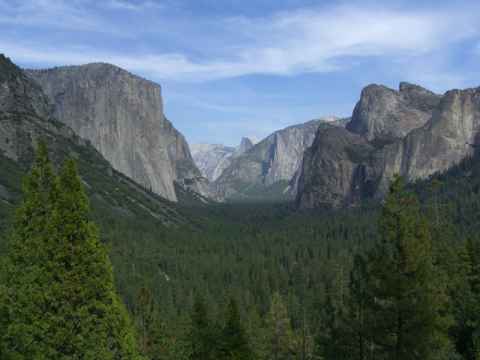
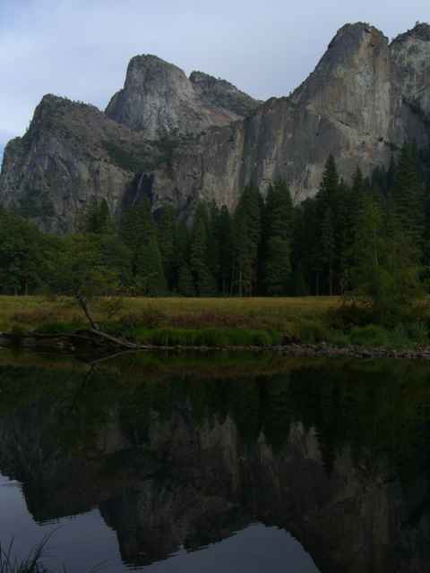
The "tunnel view" of the Yosemite Valley. It is called "tunnel view" since it is right at the mouth of a tunnel that you drive through to enter the valley from the south. From this point you can see El Capitan (the steep bare rock face to the left), Half-Dome (the almost white peak curving up in the background in the middle of the picture) and Bridal Veil Falls (just to the left of the top of the right foreground pine trees - you only see a small vertical white line).
2006-09-29 15:33
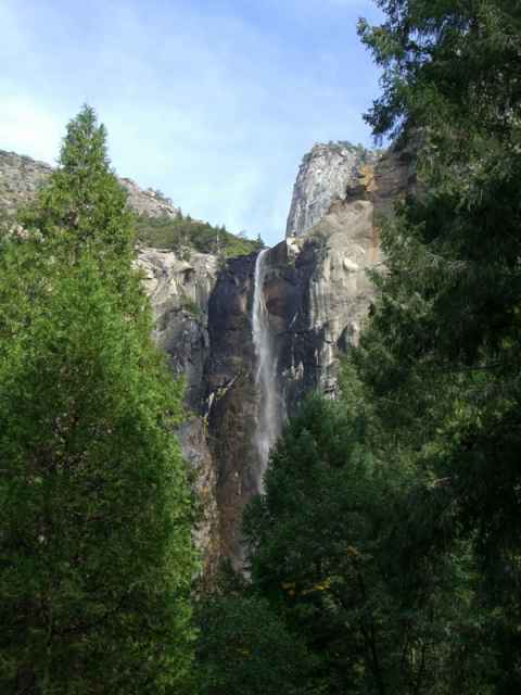
Bridal Veil Falls. There is more water flowing through here in spring.
2006-09-29 15:44
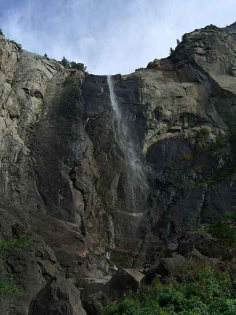
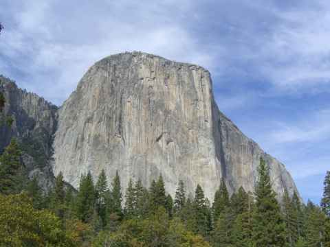
El Capitan. A favorite among climbers and base jumpers.
2006-09-29 15:57
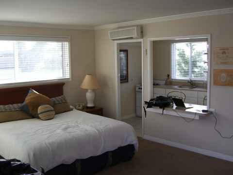
2006-09-28 17:30
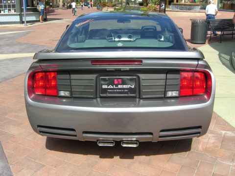
Saleen is an auto parts store for people with deep pockets. (It is also a t-shirt and baseball cap shop for people with shallower pockets.) Their specialty is to modify Mustangs - give them a new gearbox, add a supercharger, racing seats and so on. Their motto - as can be seen here on this Mustang parked right smack in the middle of the Spectrum - is "Power in the hands of a few".
2006-09-28 14:12
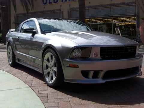
The vents that can be seen on the top of the hood are the intakes for the supercharger. With all the trimmings, the modifications add 450 horsepower to the base engine.
2006-09-28 14:13
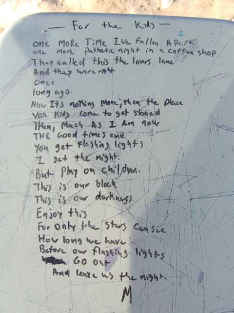
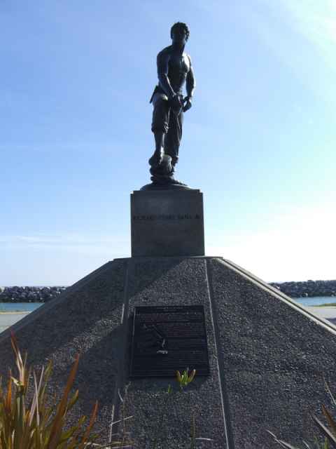
Richard Henry Dana, the guy they named the place after.
2006-09-27 15:53
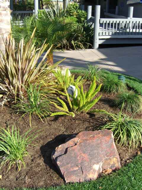
Arrangement in the nearby mall. Look at the white stone between the two light-green plants... Looks strange, right? Well, it is a loudspeaker. Playing soothing shopping music. Am I the only one who gets associations to the comedy scenes about the old Soviet Union where they would find microphones in flower boquets?
2006-09-27 16:16
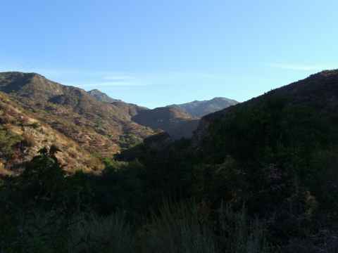
This time I took the Ortega Highway to Temecula. When I lived in Irvine it was alwas easier to take the I-405 to the 55 to the 91 to the I-15 (look that up on a map if you have to...), but living in Dana Point the Ortega Highway was much easier.
2006-09-27 08:38
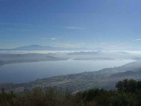
Lake Elsinore, just as the Ortega Highway comes down from the mountains near the coast.
2006-09-27 08:58
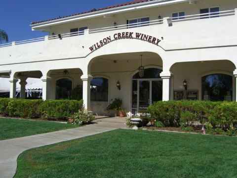
The destination - Wilson Creek Winery.
2006-09-27 10:26
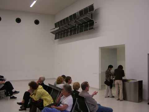
Q: How trippin' was your trip?
A: So trippin' that the seats in the departure lounge were on the walls, man!
2006-09-26 06:44
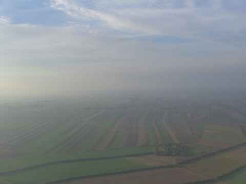
Austria seen from above. The whole region around Vienna is basically a patchwork of fields.
2006-09-26 07:49
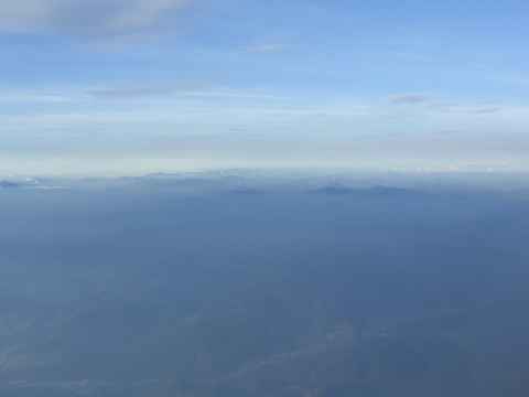
More of Austria. The fields give way to the alps.
2006-09-26 07:53
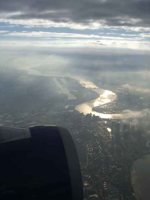
London from above as we approach Heathrow. The tall buildings seen in front of the engine intake is Canary Wharf.
2006-09-26 09:37
