Yosemite
"Well, you got to see Yosemite", Rob said,when I told him I planned on driving north along the Pacific Coast Highway. So we grabbed a road atlas, a notebook, a pencil and two pints of beer and went planning.
The trip that I had originally only thought of as "point car north on the PCH then drive", took on a more defined shape at P.F. Changs Bistro that evening. Instead of going north on the PCH, I would start with a straight shot to Yosemite, arriving there mid-afternoon and then spending the first night in Modesto. Then I would go on to San Francisco and head south on the PCH back to LA. This simplified the time management immensely, and gave me something to do both on the northbound and southbound legs. The final plan ended up like this:
-
Day 1: Laguna Beach to Yosemite, then Yosemite to Modesto.
-
Day 2: Modesto to San Francisco over San Rafael.
-
Day 3: San Francisco to Monterey by mid-afternoon, then a trip down to Big Sur in the evening and back to spend the night in Monterey
-
Day 4: Monterey to Santa Barbara over San Luis Obispo.
-
Day 5: Santa Barbara to Santa Monica and fly out.
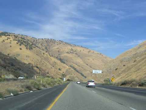
2006-09-29 09:51
Bound for Yosemite on the 5 freeway. The picture doesn't show it, but I'm going downhill fast.
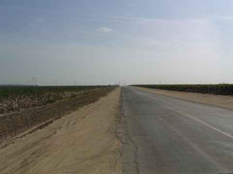
2006-09-29 10:07
The mountaneous terrain north of LA give way to the flat valley.
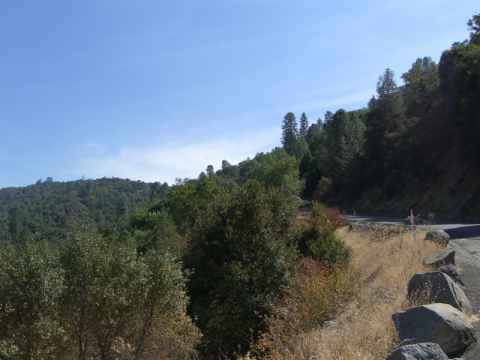
2006-09-29 13:45
And then you're back up in the hills again as you leave Fresno on highway 41.
2006-09-29 14:15
The vegetation shifts from desert brush to trees as you near Yosmeite.
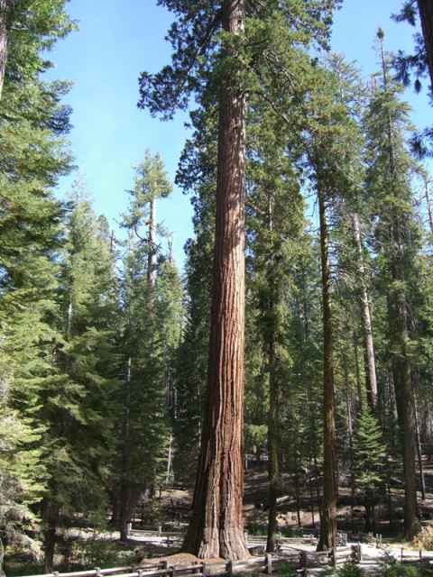
2006-09-29 14:30
By trees, I mean giant Sequoias.
2006-09-29 14:31
They stand like giants among the other trees in Yosemite.
2006-09-29 14:31
This is how big they are.
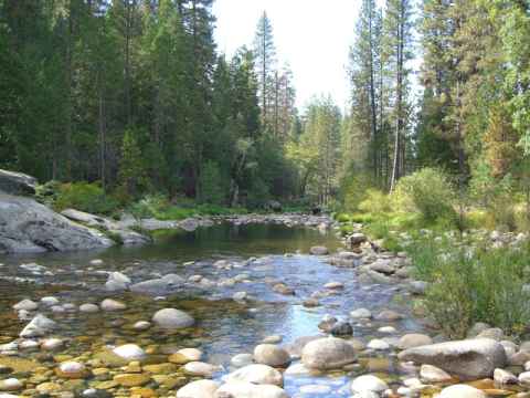
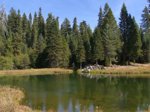
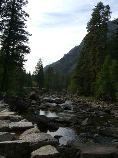
2006-09-29 14:53
All streams in Yosemite are fed by snowmelt from the mountains. Since I'm visiting in September, when the spring floods are over and there hasn't come any more snow, the streams are near empty.
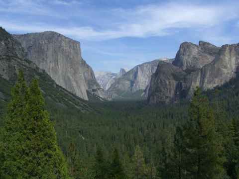
2006-09-29 15:33
The "tunnel view" of the Yosemite Valley. It is called "tunnel view" since it is right at the mouth of a tunnel that you drive through to enter the valley from the south. From this point you can see El Capitan (the steep bare rock face to the left), Half-Dome (the almost white peak curving up in the background in the middle of the picture) and Bridal Veil Falls (just to the left of the top of the right foreground pine trees - you only see a small vertical white line).
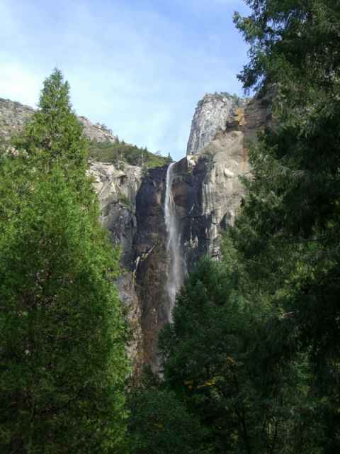
2006-09-29 15:44
Bridal Veil Falls. There is more water flowing through here in spring.
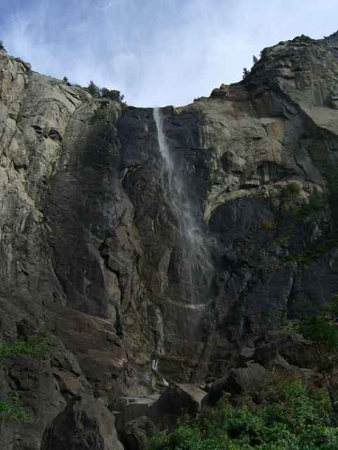
2006-09-29 15:47
Closeup of the fall.
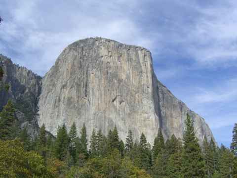
2006-09-29 15:57
El Capitan. A favorite among climbers and base jumpers.
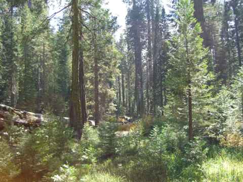
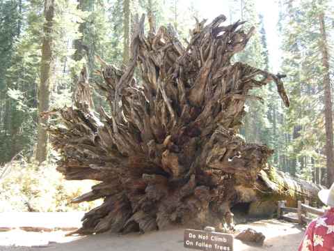
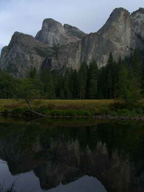
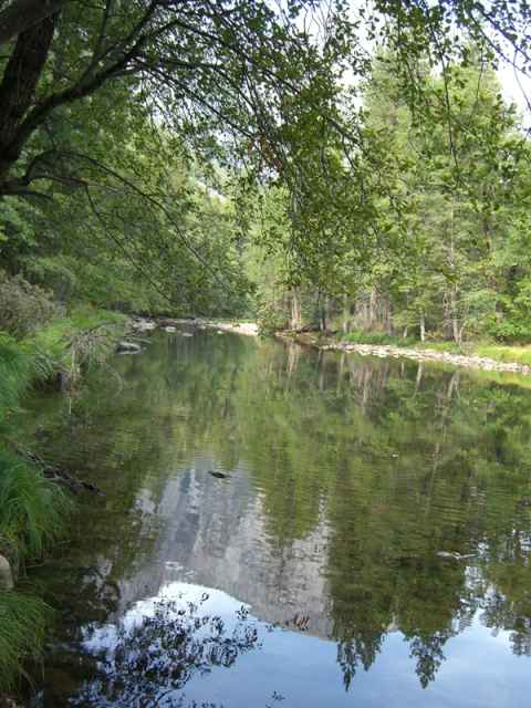
Various pictures taken in Yosemite Valley.
2006-09-29 15:59
2006-09-29 16:13
2006-09-29 16:15
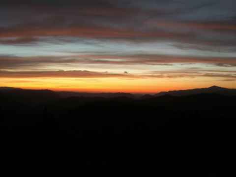
Sunset in Yosemite.
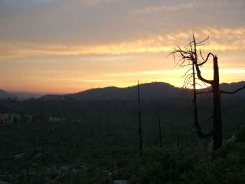
2006-09-29 18:43
2006-09-29 19:20