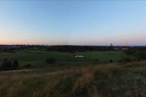
Virtual Granholmstoppen
With a Ricoh Theta SC and a GPS logger, I thought I'd try to create a virtual tour. After a little experimenting I figured out how to attach a tripod to my backpack in such a way as to raise the Theta high enough that my head wouldn't obscure the view forward. Then it was time to set the Theta to interval shooting, and start walking!
Back when I made a whole lot of panoramas for the Little Jogging Track project, I was happy with the result (still is), but one thing kept gnawing at me: there wasn't any good navigation between the many panoramas. Still, while there were many panoramas, there weren't that many. This changed with a Theta that snaps a photo every 14 seconds - suddenly it would not be possible to have a tour where the user would click back and select the next panorama in a thumbnail gallery. It had to be with in-panorama navigation.
I added a stage to my photo import code that would add a heading metadata tag to any 360 photo, with the heading simply being the GPS heading at the point in time when the photo was taken. Then I beefed up the panorama code with navigation. Finally, I realized that my geocoding was off - the GPS tagging code had been flawed ever since I wrote it back in 2006, with two operands having been switched around. Much like the GPS Tracklog Reader bugfix that I had to solve for the Little Jogging Track project, this was something I had to solve to get the virtual tour working.
