Shiny New Toy
I've been playing with the idea of getting a GPS so I can geocode my photos for a while. When I finally got the Google Maps mashup to work, I decided it was time.
So I ordered a Foretrex 201[a] from Dealcat.de[b] (good price: 179 EUR when RRP is $182 in the US and street price here in Vienna is EUR 249), downloaded GPSlib4J[c] (GPS interface library for Java), RXTX[d] (serial port library for Java) and Exiv2[e] (image metadata editor), and bolted together an application to import the tracklog from the GPS and use it to geocode images imported from the camera.
The results were good - although it took a little time to get the GPS to play nicely. If you hover over any of the images below you'll see a little globe icon pop up. Click on it to see where the picture was taken. Update 2011-12-12: Click through to the image page, or select "Map" in the top right of the page.
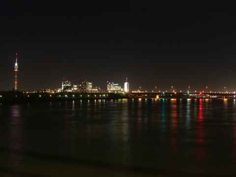
2006-11-23 17:14
Taken from the Donaupromenad across the Danube river. Geocode was ok.
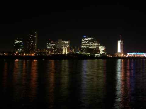
2006-11-23 17:41
Taken from the Donauinsel. Geocode agrees - sort of - Google maps places me in the water by the shore when using satellite imagery, but right when using the "Map" view.
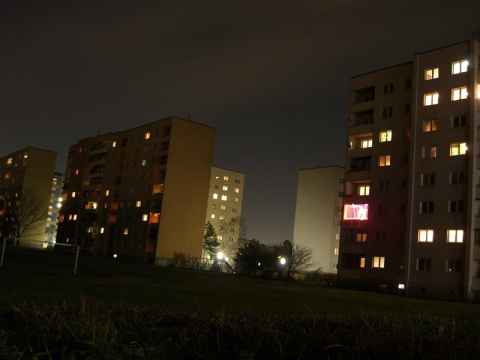
2006-11-23 18:10
Spot on geocoding places me in Leopoldau, at the northernmost end of the U1 subway line.

2006-11-23 18:12
This one is also spot-on geocoded.
2006-11-23 18:41
Really bad geocode places me several kilometers off.
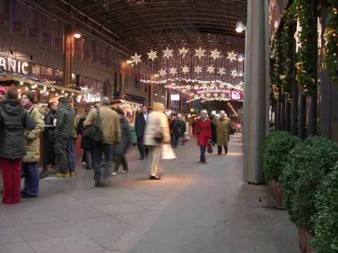
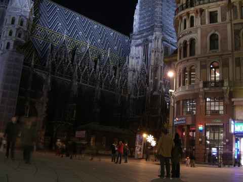
2006-11-23 19:05
Geocode is slightly off - I'm supposed to be at Mahlerstrasse, which is about 100 meters south. GPS:s don't work that well in cities with big, sky-and-satellite-blocking buildings, though, so this is only to be expected.