
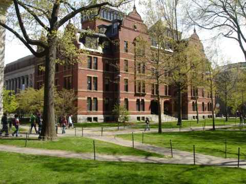
The statue of John Harvard, commemorating his founding of the university in 1638. Actually, that sentence has three lies in it:
-
John Harvard didn't found the university, he just donated so much to it that it was named after him a couple of years after is was founded.
-
The university was founded in 1636.
-
The person depicted isn't John Harvard - nobody knows what he looked like. Somebody else sat as model.
2006-05-01 14:23

The bus will drop you off in Chinatown.
2006-04-26 11:40

Empire State building, as seen from the street.
2006-04-26 12:29

"Proof of life" from the 88th floor observatory of Empire State.
2006-04-26 13:09


This is a public service announcement. When you buy tickets at Empire State Building, you will be offered to go to the 102nd floor observatory for another $14. This is what you will get. A submarine-like room with dirty windows. As the life operator said: "It's stopid. Nuthin' disastrous, juss' stopid." Stay on the 88th floor and save your money.
2006-04-26 13:22


Statue of Alice in Wonderland in Central Park.
2006-04-26 14:17


Ground Zero - this is where the World Trade Center used to be.
2006-04-26 15:21

The World Trade Center Cross[a], a cross-shaped remnant of the exterior wall of WTC.
2006-04-26 15:22


Inside the Winter Garden at World Financial Center, the complex right next to WTC.
2006-04-26 15:31


Battery Park. The slabs list dead US sailors.
2006-04-26 16:08

The statue of liberty. The vertical smudge to the right in the image is caused by lens damage.
2006-04-26 16:08


Statue outside the US Customs building.
2006-04-26 17:41


The Almighty Buck starts and stops here.
2006-04-26 17:48


Of all streets in NY, I think Wall Street is the only one where I've really felt the high-rise buildings on the sides of the street really give the area a claustrophobic feel.
2006-04-26 17:55

A picture of the Manhattan skyline as the bus leaves for Boston.
2006-04-26 19:16

The place I'm staying at, 199 Park Drive.
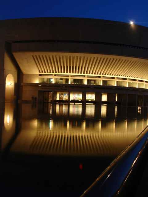
2006-04-25 11:26
.")
2006-04-25 11:44


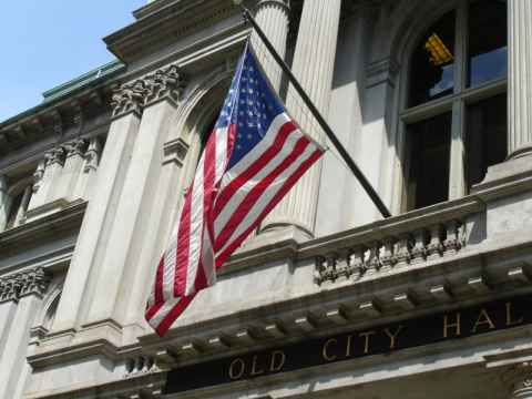
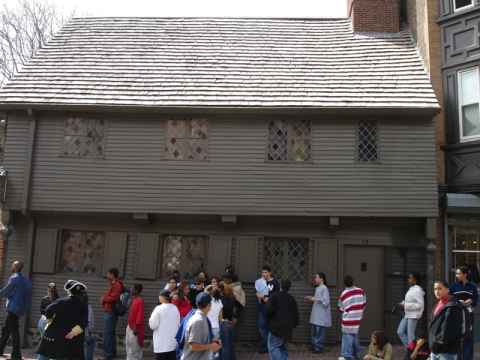
A hopscotch outside the old city hall. The building also served as the first public school.
2006-04-25 12:19


Benjamin Franklin. This is the first statue in the US that showed the person depicted in typical clothes. Other statues, such as the one of Quincy Adams just ten meters away, used the old heroic / roman style of clothing.
2006-04-25 12:21

The Red Sox is not as much a baseball team as a state religion.
2006-04-25 12:29


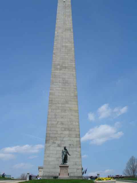
Trees in bloom near a veteran's memorial.
2006-04-25 14:20


View of the Italian quarter from a safe distance.
2006-04-25 14:44


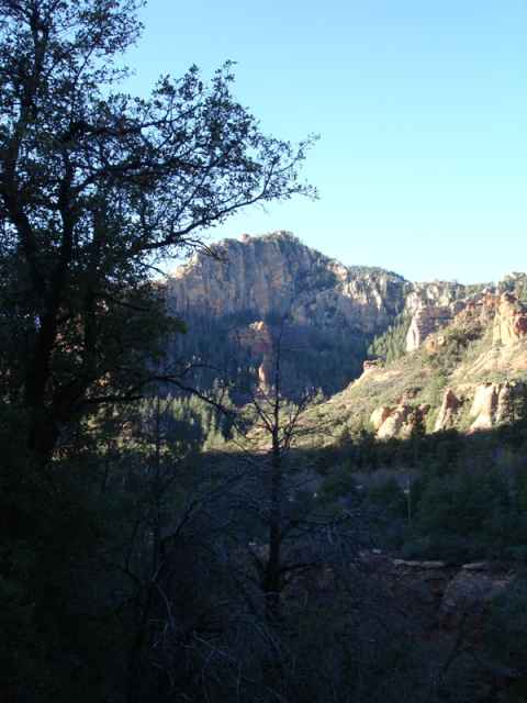
The view from Bernard and Mimi's summer home in the mountains.
2006-04-23 11:26

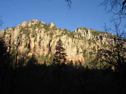
The "Hawkbill" trail, leading up to the peak of the same name. The rock outcrop at the top gives the peak the silhouette of a hawk's bill.
2006-04-23 11:57


A picture of my hosts in Charlotte, Mimi and Bernard Clarke.
2006-04-23 12:36


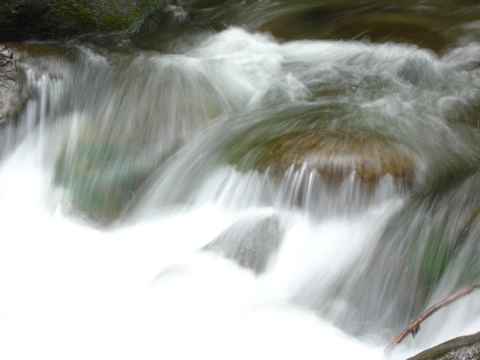
Linville Falls. The water is usually clear, but rainfall had brought with it soil, making the waters muddy. In addition, the stream was also about three times the size it would have been on a dry day.
2006-04-23 15:30

 gardens. The garden here came witha sign that said \"please enjoy the garden from the street\".")
The houses usually have very beautiful (and very publically inaccessible) gardens. The garden here came witha sign that said "please enjoy the garden from the street".
2006-04-22 10:56


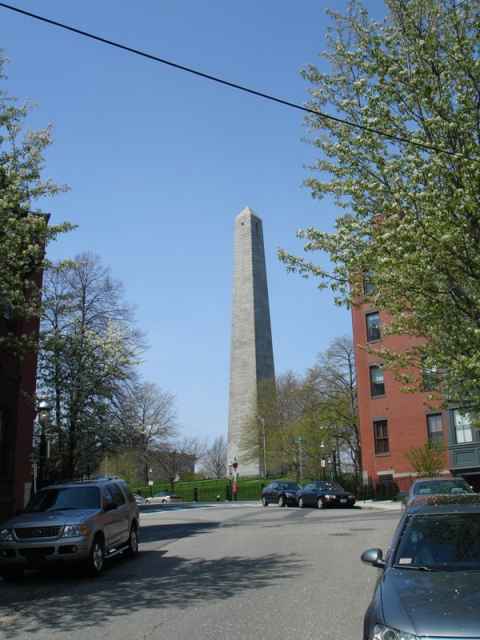
Row of houses near White Point, the southernmost point of the peninsula where Charlestown is situated.
2006-04-22 11:04


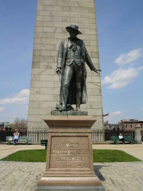
Second South Carolina Regiment
Army of the Revolution
Organized June 17, 1775
To the defenders of Fort Moultrie
June the 28th, 1776
2006-04-22 11:16

Memorial at White Point. A coastal battery used to be placed here.
2006-04-22 11:17


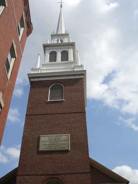
The Circular Church[e], a very old church with an amazing history[f].
2006-04-22 12:24
, City Hall (munipical law), the Federal Building and U.S. Post Office (federal law), and Saint Michael's Episcopal Church (canon law).")
The "four corners of law" intersection. On the corners are the courthouse (state law), City Hall (munipical law), the Federal Building and U.S. Post Office (federal law), and Saint Michael's Episcopal Church (canon law).
2006-04-22 12:43

P.C.F. Beauregard
General
Commander Confederate Forces
Charleston, South Carolina
Held this city and harbour
inviolate
against combined attacks
by land and water
1863 - 1864 - 1865
2006-04-22 12:46

 drink. Later, the pub owner would announce that unfortunately there would be no fight, but that tickets for the next day's fight could be bought.")
The "Blind Tiger Pub". During the era when liquour could only be sold in amounts dictated by state law, an entrepenurial spirit set up a chain of "Blind Tiger" pubs. The pub would sell tickets to a fight between two such animals. When the spectators showed up they would be treated to a "complimentary" (and therefore not "sold") drink. Later, the pub owner would announce that unfortunately there would be no fight, but that tickets for the next day's fight could be bought.
2006-04-22 15:56

Memorial to Cold War submarine crews at Patriot Point, across the river from Charleston.
2006-04-22 16:24
 at Patriot Point.")

South Carolina sunset, somewhere along the I-77.
2006-04-22 19:58

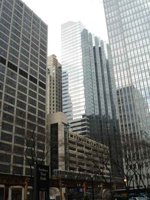
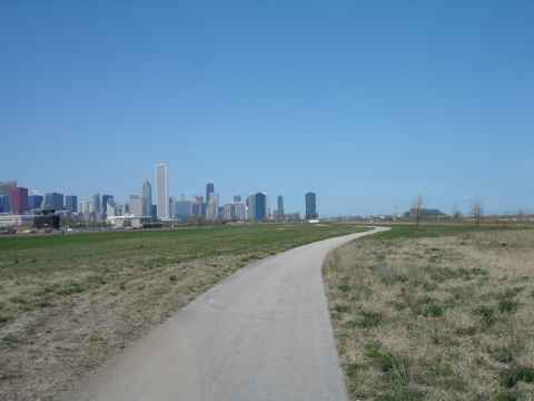
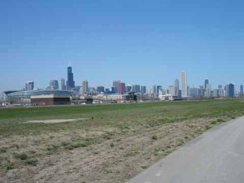
Sports in Chicago is not always about winning. For fans of the "Lovable Losers", the Cubs, that is an attitude that must have been born out of neccessity rather than enlightenment.
2006-04-19 14:30
")
"The Italian Village[h]" is Chicago's oldest Italian restaurant, having been open since 1927. (And you know what tax skills[i] that requires.)
2006-04-19 15:26

The problem with having a company name with a meaning.
2006-04-19 16:17

The Chicago water tower, one of the few structures to survive the great fire[j]. It is now a national landmark.
2006-04-19 17:13
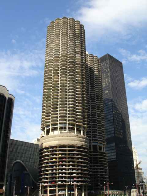

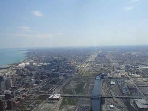
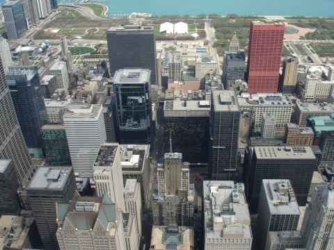
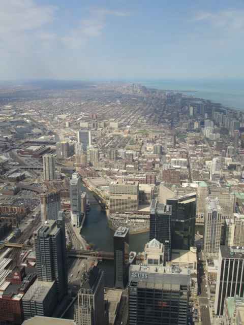

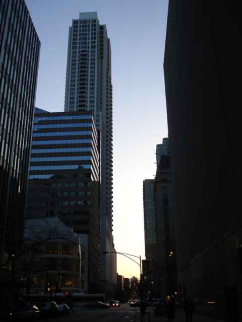
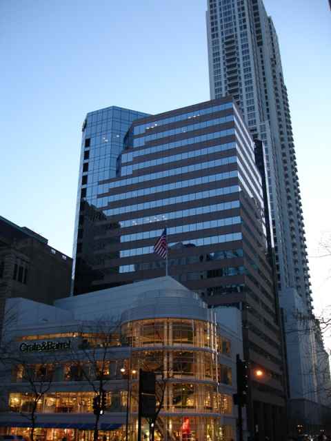
The view from my hotel window. It is East Congress Parkway going across Michigan Avenue[k] toward the Grant Park.
2006-04-18 13:44


")


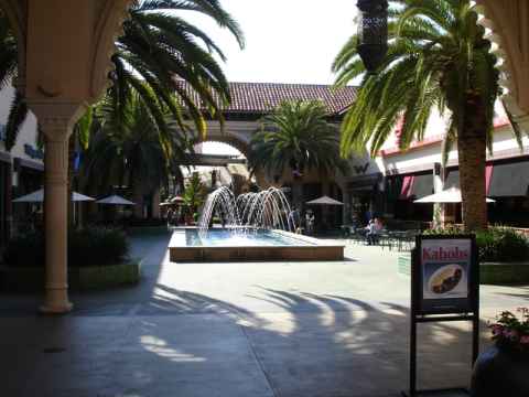
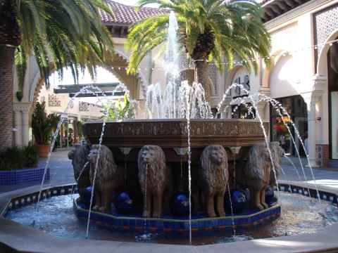
Statue of Ka'ahumanu in the Queen Ka'ahumanu Center. All coins thrown in the pool are donated to local charities.
2006-04-17 11:08

Q: Why did the chicken cross the road?
A: It didn't. But it would have been better off if it had. It just ran around aimlessly on one side, getting in everybody's way and was nearly run over by at least two cars.
These are everywhere. You see them running around in the streets, and even here, about ten miles from the nearest town, you find them.
2006-04-16 08:52

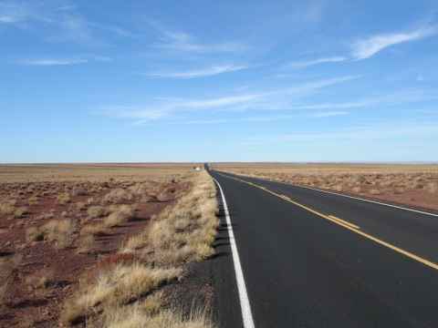
The kind of road you get to drive. It doesn't get any straighter than this for fifteen miles in each direction.
2006-04-16 09:02

The road follows the coastline more or less exactly, as can be seen here.
2006-04-16 10:31


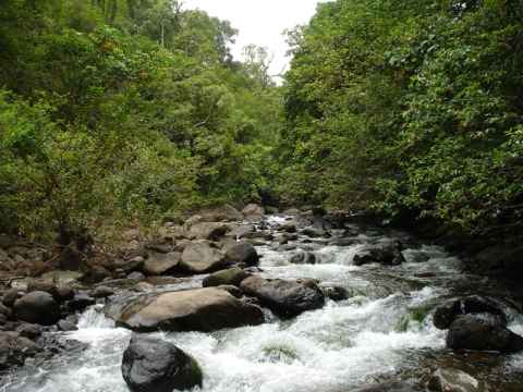
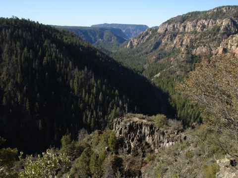
As you stop and hike into each valley you're bound to find the stream that originally carved out the valley. This photo was taken after a light rain, during heavy rain the stream increases in size by a magnitude.
2006-04-16 10:06


One of the innumerable one-lane bridges on Highway 360.
2006-04-16 10:58


Note the black grains that give the sand the dark color.
2006-04-15 17:17


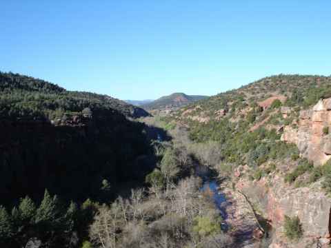
The streams going down the bottom of the valley.
2006-04-15 14:01

The "Iao Needle". A piece of denser rock that was embedded in more easily erodable rock, and that remained when the surrounding rock was washed away by rains.
2006-04-15 14:17


A hiking trail follows one of the streams up a couple of hundred meters.
2006-04-15 14:24

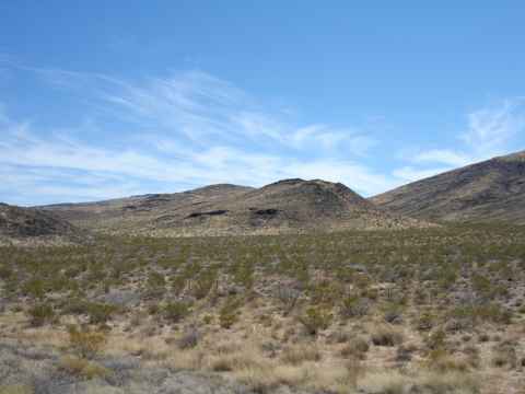
Highway 31 goes straight through the southern part of Maui, with a huge grass plain to the seaward side of the road.
2006-04-15 12:29

The road snakes through the landscape.
2006-04-15 12:29

Frequent bridges allows one to drive over lava flows.
2006-04-15 12:09

The Winery garden. This used to be where the main building of Ulupalakua Ranch stood.
2006-04-15 10:27

The "King House", now used for wine tasting. The building got the name from the fact that it was built in all haste after the ranch owners had invited the king of Hawaii, and then realized that the king would have nowhere to stay when he arrived.
2006-04-15 11:01

The wine tasting room and souvenir shop.
2006-04-15 11:02
")


.")


The company Expedia hires is "Maui Mountain Cruisers" and what better seal of quality than a signed photo of the cheerleaders of the Baltimore Ravens?
2006-04-14 04:00

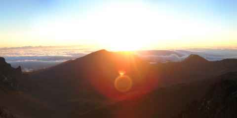
After forcing myself out of bed at 0300 we were taken to the top of Haleakala. At 0530, this is what the horizon looks like.
2006-04-14 05:31

You can see the clouds coming in from the sea, striking the hills like a giant wave frozen in time.
2006-04-14 06:00

Then, suddenly, a point of light appears at the horizon.
2006-04-14 06:01

The point quickly grows into the full sun.
2006-04-14 06:03

The valley below is lit up.
2006-04-14 06:08

The valley seen is often mistaken for an extinct volcano, but this is not the case. The valley that crosses the southern part of Maui started as two valleys, one in the north and one in the south. As the porous volcanic rock eroded, the valleys extended toward the summit and finally merged, producing a valley that crosses the Haleakala mountain.
2006-04-14 06:09
 on the way down. It also has the purpose of making the column look like a bike-mounted half platoon of Papa Smurfs.")
Standard gear for downhill cruising - rain coat and pants, helmet and skiing gloves. The gloves are needed to keep the hands warm at altitude, and the rain gear are used when passing through the clouds (100% humidity) on the way down. It also has the purpose of making the column look like a bike-mounted half platoon of Papa Smurfs.
2006-04-14 07:40

Pause for proof-of-being-here pictures.
2006-04-14 08:02

View down toward the eastern side of the island.
2006-04-14 08:03
, and Sherri Reeve.")
The trip down includes a stop at Makawao. Here you can check out some art galleries, such as Julie Galeeva[l], whose art is far better than her opening hours (closed when I was there), and Sherri Reeve[m].
2006-04-14 09:20
")
Obviously the local black market currency. (I really have no idea what this is about. Maybe if you find an avocado you can cash it in here.)
2006-04-14 09:35
 Holy Ghost Church. This is a statue commemorating Father Damien's battle to help victims of the plague that scoured the island.")
The trip ended at (I think) Holy Ghost Church. This is a statue commemorating Father Damien's battle to help victims of the plague that scoured the island.
2006-04-14 10:31

Other notable priests include Father Louie. Father Louie Funk. I can't think of a cooler name. I'm sure the name alone was enough for him to "get on up" to sainthood.
2006-04-14 10:38

The church. The downhill guide told me that the architecture was full of sacred geometry to channel spiritual power from the surroundings, and that the arches were just like the ones at the bottom of the WTC, making those twin towers, in effect, churches. Anyway. Now you know it, too.
2006-04-14 10:35

The bus used to transport the bikes and trail behind the column of bikers, making sure that no car rams our asses. Who Katrina Farrah is is a mystery.
2006-04-14 10:38

The Big Island around the Kilauea caldera is covered with tropical vegetation.
2006-04-13 09:03
.")
The Kilauea Iki crater, immediately to the east of the Kilauea caldera (which can be seen in the background).
2006-04-13 09:09

The entrance to the Thurston Lava Tube on the east edge of the Kilauea Iki crater.
2006-04-13 09:20


Inside the lava tube, this time with a long exposure to show more detail.
2006-04-13 09:23


The lava flow of 1974 again, showing the Lua Manu crater.
2006-04-13 09:37

Keanakako'i, a place where the people of old used to mine for stone for tools.
E ki'i a naonao i ke ko'i
I ka lua ko'i i Hawaii;
E naoa ka lawena heihei,
I'a mai a ki huna ahi
I ka hana oia mea.Go and dig out the adz
In the adz pit in Hawaii
Hold, that it be taken out enchanted
Made light; that it may shoot sparks
In doing its work.
In 1877 the pit was covered in lava and stone mining ceased. In July 1974 the pit was covered in another 20 foot of lava caused by eruptions in the crater and merging lava flows.
2006-04-13 09:45

Steam vents. When you stand here with the wind blowing at you, you'llsuddenly feel warm, moist air coming at you. This is steam from the ground.
2006-04-13 09:58

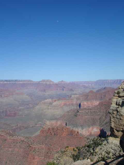
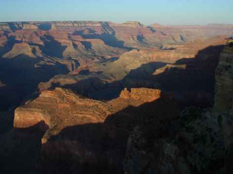
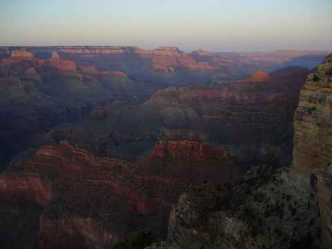
View of the Kilauea caldera from the northern rim.
2006-04-13 10:23

A lava flow going down to the sea.
2006-04-13 11:24

The current lava flow. The lava travels through channels in the rocks that open up underwater. The steam plumes indicate where the hot lava meets the seawater. This is where new land is being created.
2006-04-13 11:58


View of Mauna Kea as the plane departs for Maui.
2006-04-13 18:29

 a great place for snorkeling, and Kahoolawe is (apparently) a great place to blow stuff up, bomb it, or simply hammer it with shells. Thus, Molokini is a popular target for snorkeling people, and Kahoolawe has spent the last fifty-odd years being a popular target for the US military when testing new guns, bombs or just for target practice. I would venture to guess that every spieces known to be inhabiting the islands has at some point been shredded by the boys in gray here. Recently the island has been returned to the State of Hawaii, and the unexploded ordnance is being removed.")
The county of Maui consists of the Island of Maui and the three islands Kahoolawe, Molokai and Lanai. On this picture the very small island Molokini can be seen and on the left part of Kahoolawe. While Molokini is (apparently) a great place for snorkeling, and Kahoolawe is (apparently) a great place to blow stuff up, bomb it, or simply hammer it with shells. Thus, Molokini is a popular target for snorkeling people, and Kahoolawe has spent the last fifty-odd years being a popular target for the US military when testing new guns, bombs or just for target practice. I would venture to guess that every spieces known to be inhabiting the islands has at some point been shredded by the boys in gray here. Recently the island has been returned to the State of Hawaii, and the unexploded ordnance is being removed.
2006-04-13 18:41


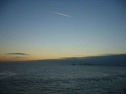
View of the sea and oil platforms.
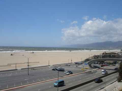
2006-04-11 19:10


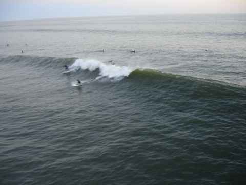
Jack's surfboards. Great store for surfers and for posers like me who just want the clothes.
2006-04-11 19:30

The gondola. The only one of its kind in the western hemisphere.
2006-04-10 13:01


View from the top. Palm Springs can be seen spread out on the desert valley floor.
2006-04-10 13:12
.")
The national park on the top. Note the snow-covered ground and pine trees. The temperature was about 3 degrees Celcius (40 degrees F).
2006-04-10 13:13

A little stream running right next to the top station.
2006-04-10 13:22


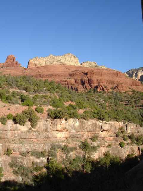
An outcrop of the mountain's granite core.
2006-04-10 13:44

, but the promised Wi-Fi connection leaves a lot to be desired.")
The hotel I stayed at in Flagstaff - Super 8 West. Nice rooms, well worth the price ($55 / night), but the promised Wi-Fi connection leaves a lot to be desired.
2006-04-09 07:49


The well. It is a collapsed sinkhole formed when underground waterflows eroded the overlying strata, forming a cavity. When the cavity grew big enough to not be able to support the top, it fell down, leaving a water-filled hole in the middle of the desert.
2006-04-09 15:52

The hole seen from the opposite rim. Note the houses built into the wall - it was a popular way among the people living here of building houses that were well-protected and warm.
2006-04-09 15:56

This is petrified wood. When trees grew here in a swamp and were fossilized, the surrounding minerals entered the wood, turning it to stone with a wood pattern.
2006-04-09 10:59

An entire petrified tree, complete with roots.
2006-04-09 11:03

The pieces of wood lie strewn across the landscape.
2006-04-09 11:04

Closeup of a piece. The tree rings can be seen clearly.
2006-04-09 11:08


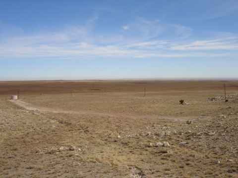
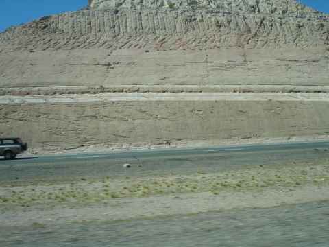
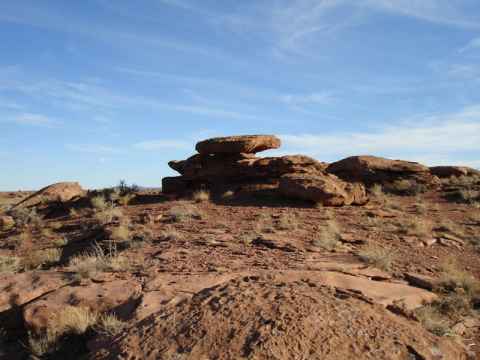
The Blue Mesa Badlands. The place is exactly as inhospitable as you would expect from the photo.
2006-04-09 11:53


This area wasn't all bad, all the time. Once, pueblo indians lived here. Their carvings can be seen on stones.
2006-04-09 12:23


In the north end of the national park is the Painted Desert. The desert was formed via erosion of the many layers that were laid down when seas were covering this place.
2006-04-09 12:45


Links
http://en.wikipedia.org/wiki/World_Trade_Center_cross | |
http://www.mbta.com/insidethet/taag_history.asp | |
http://en.wikipedia.org/wiki/Francis_of_Assisi | |
http://en.wikipedia.org/wiki/Massachusetts_State_House | |
http://www.circularchurch.org/ | |
http://www.circularchurch.org/history.htm | |
http://en.wikipedia.org/wiki/USS_Yorktown_%28CV-10%29 | |
http://www.italianvillage-chicago.com/ | |
http://en.wikipedia.org/wiki/Al_Capone#Fall_of_Capone | |
http://en.wikipedia.org/wiki/Great_Chicago_Fire | |
http://maps.google.com/maps?f=q&hl=en&q=chicago,+il&ll=41.875233,-87.624657&spn=0.007829,0.021629&om=1 | |
http://www.juliegaleeva.com | |
http://www.sreeve.com/ |